
Location - On the R434, off the N7 at Borris in Ossory.
OS: S 328 858 (map 60)
GPS: S 32740 85798 (Accuracy - 5m)
GPS: S 32740 85798 (Accuracy - 5m)
Longitude: 7° 30' 44.2" W
Latitude: 52° 55' 19.48" N
Latitude: 52° 55' 19.48" N
See map at the bottom of the page.
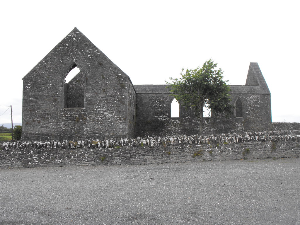
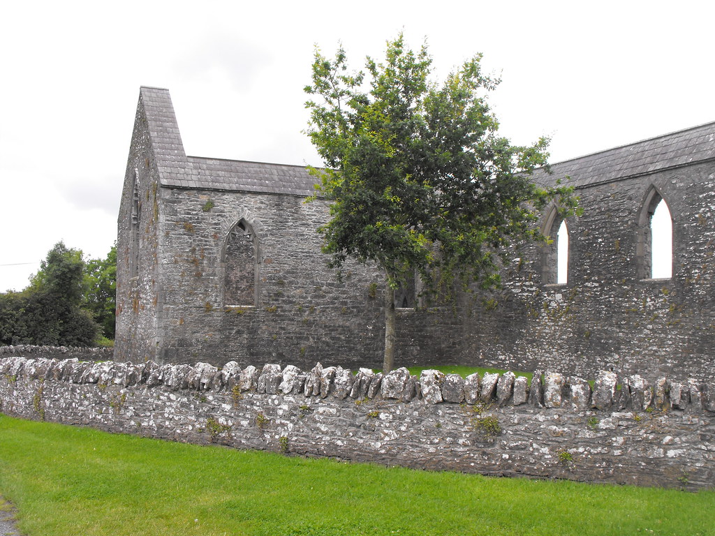
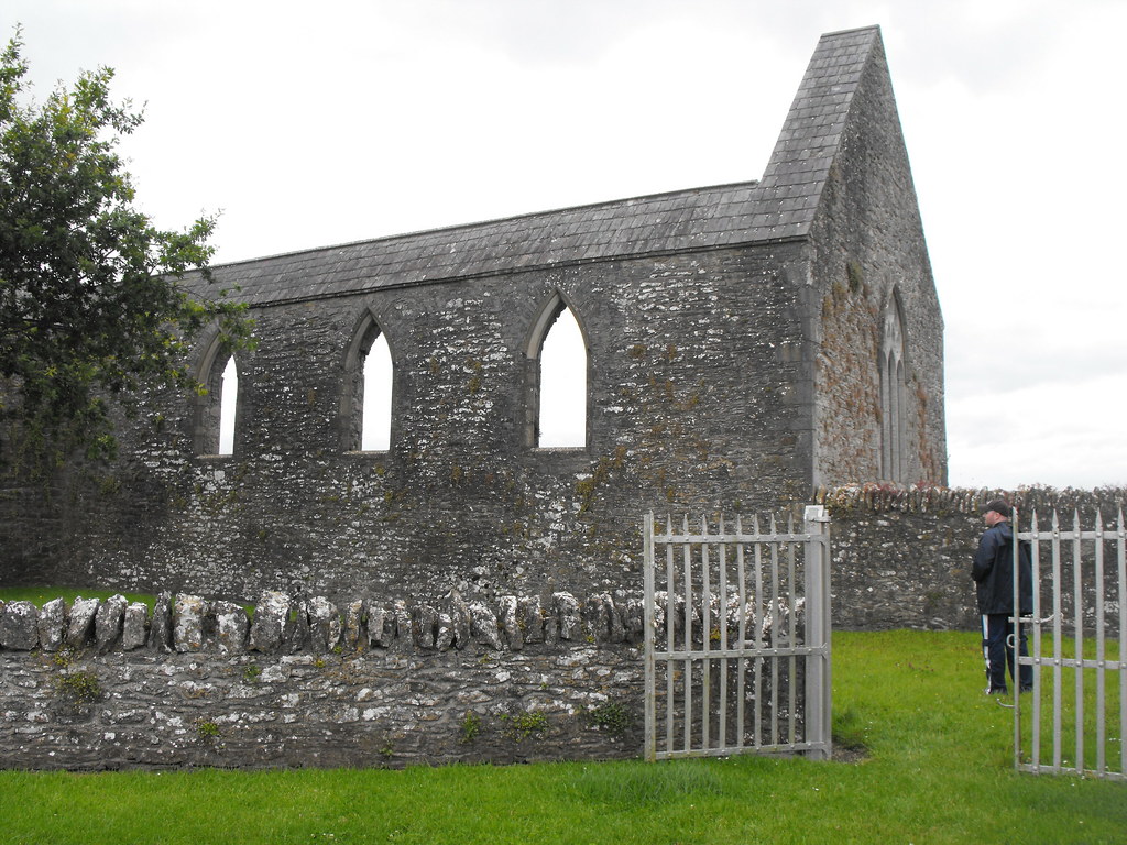
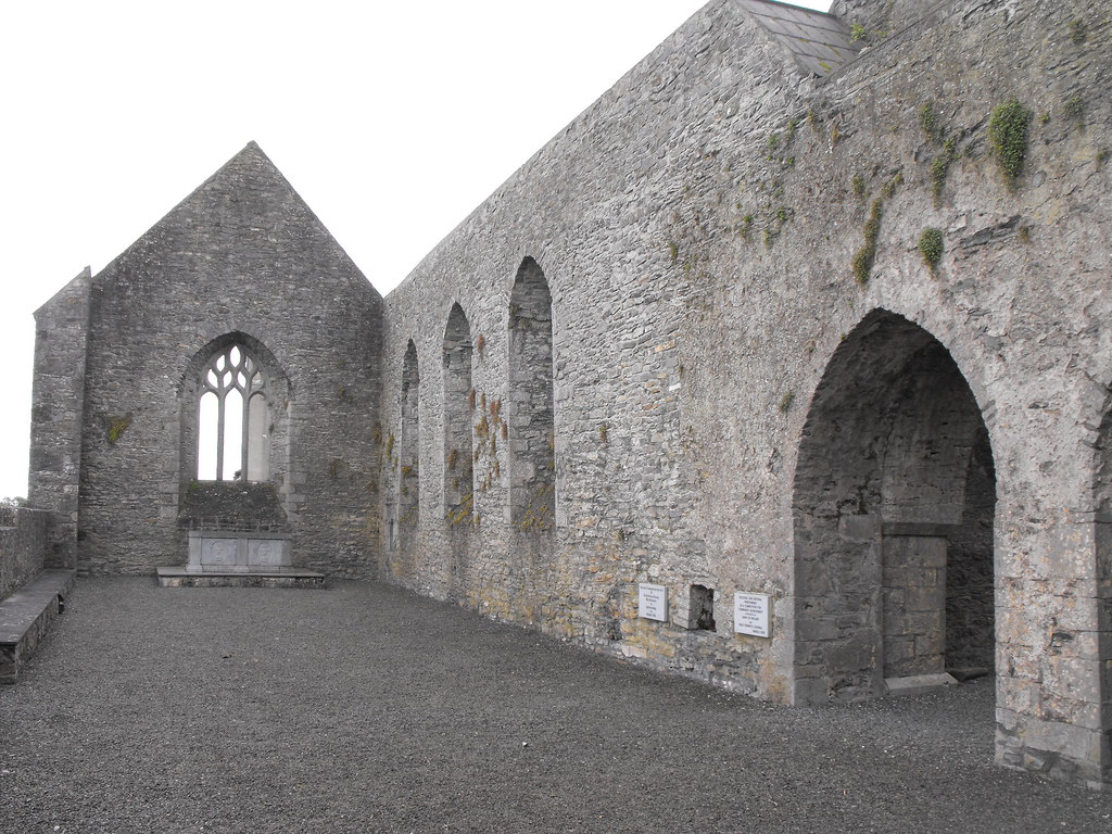
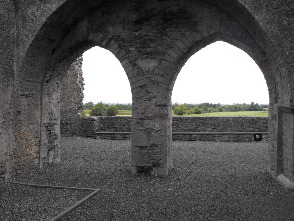
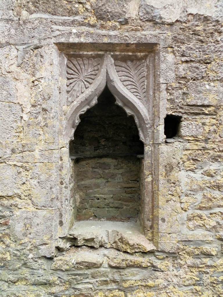
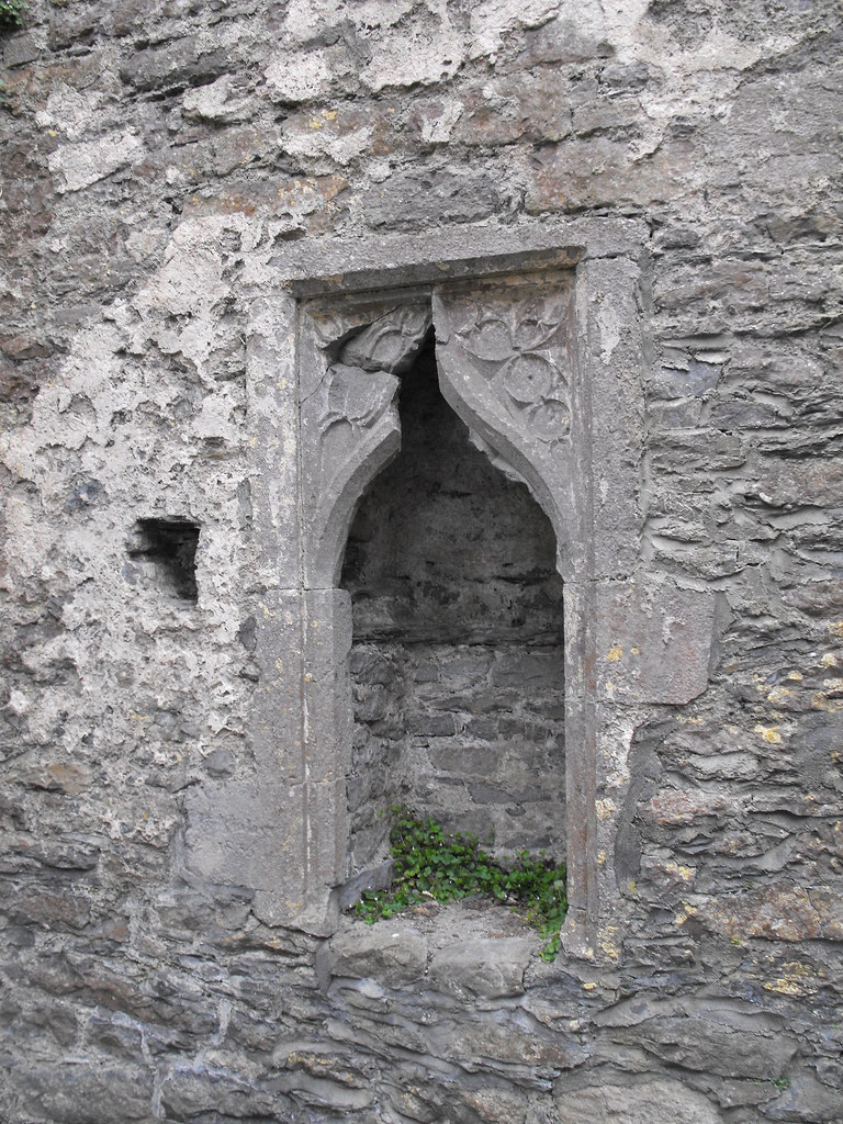
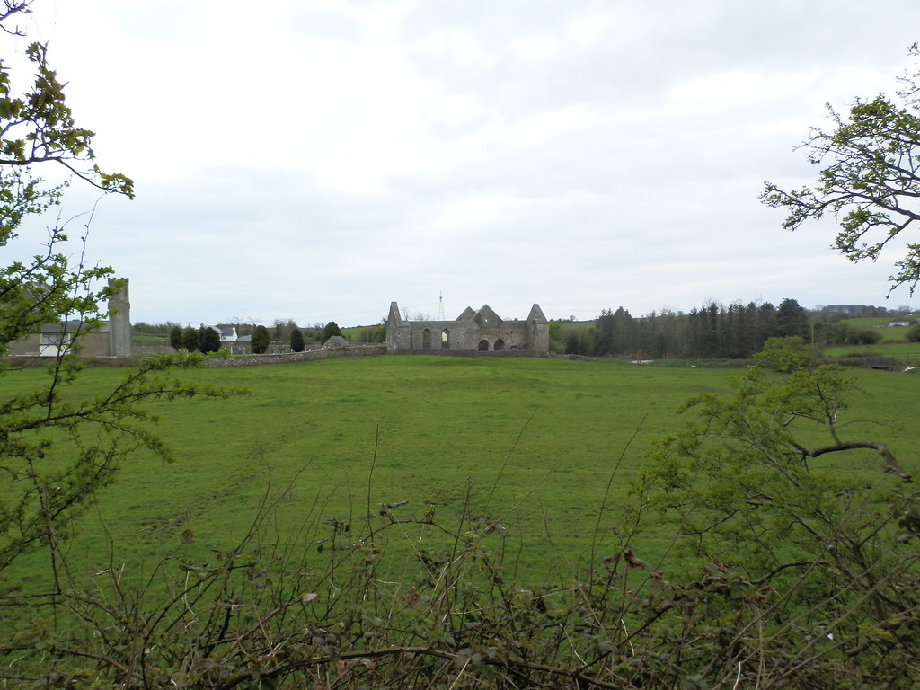
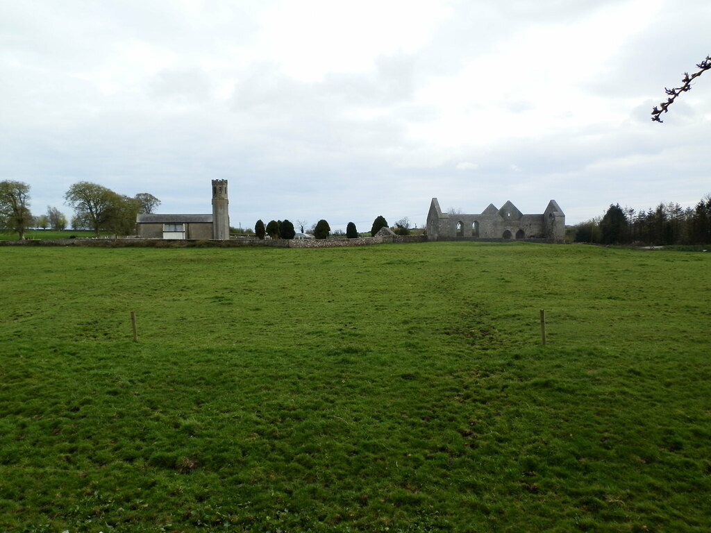
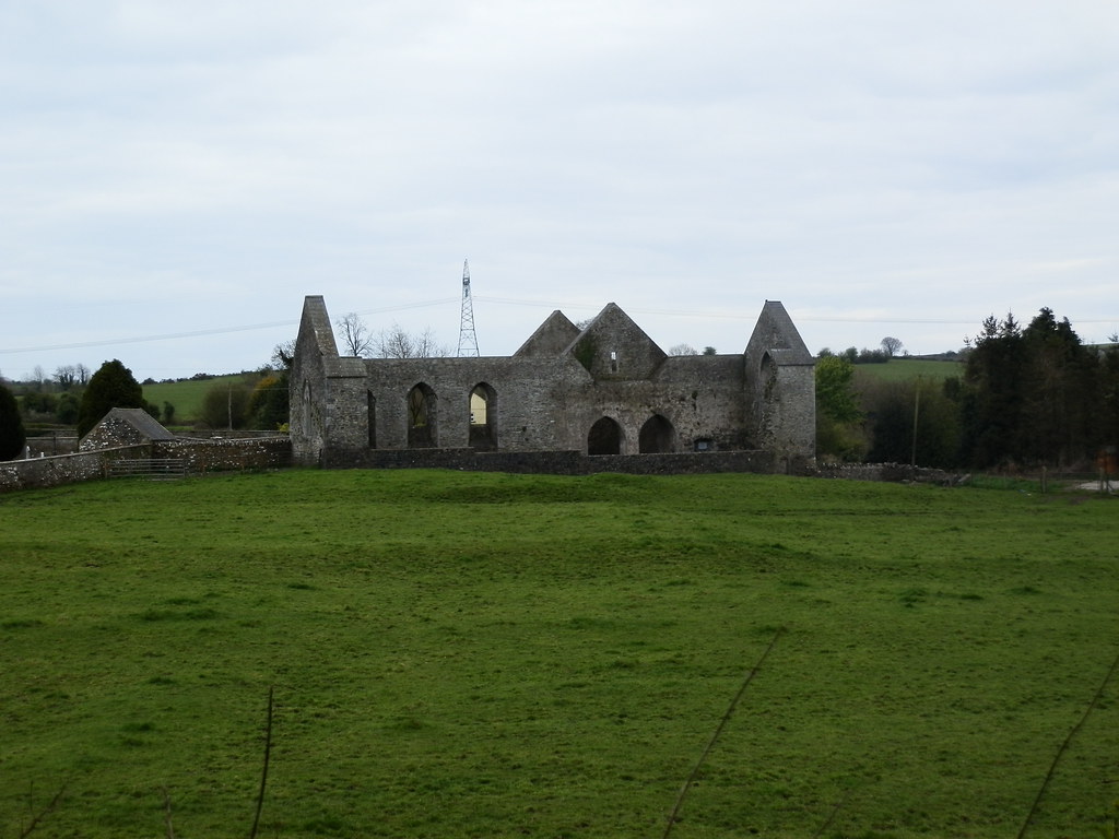
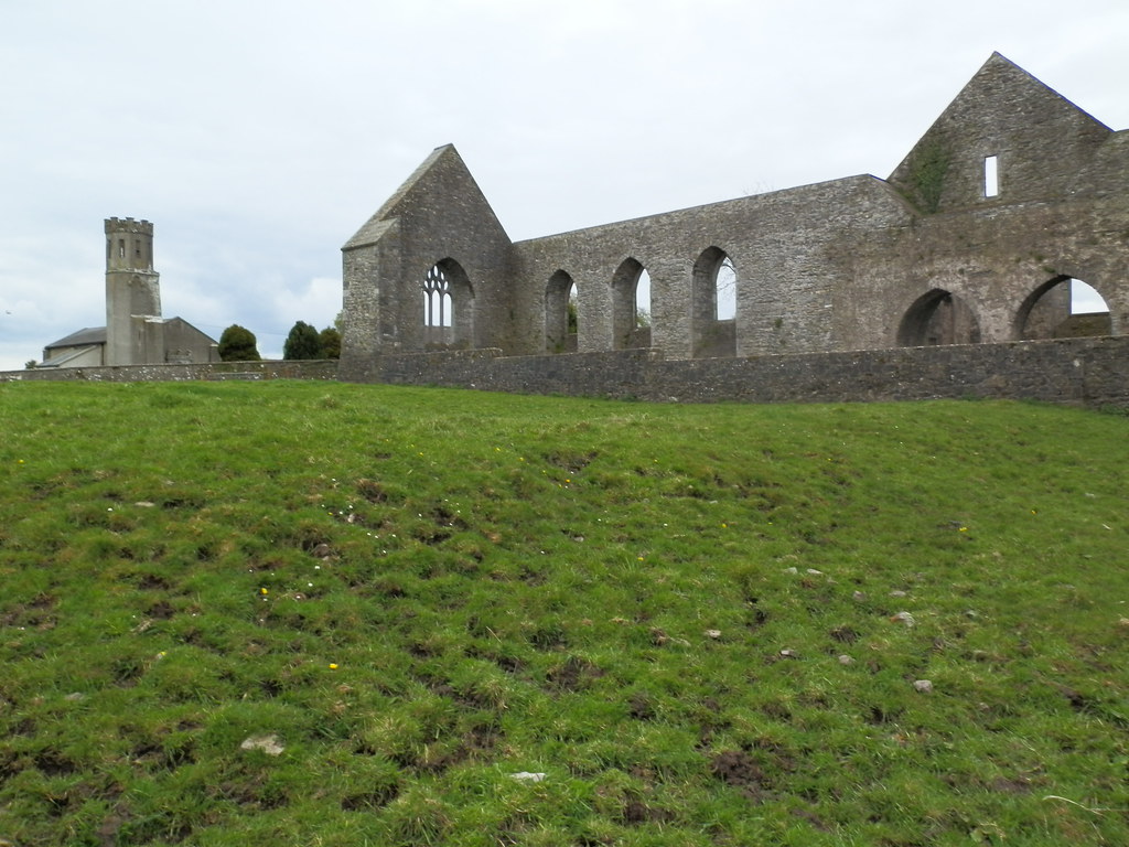
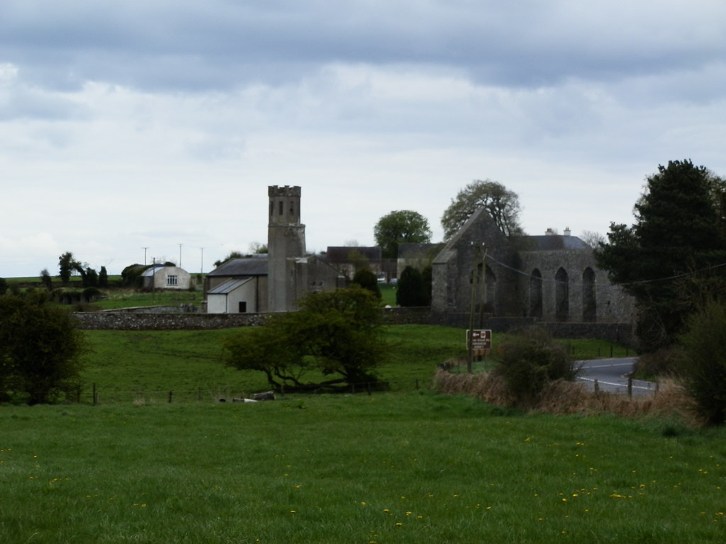
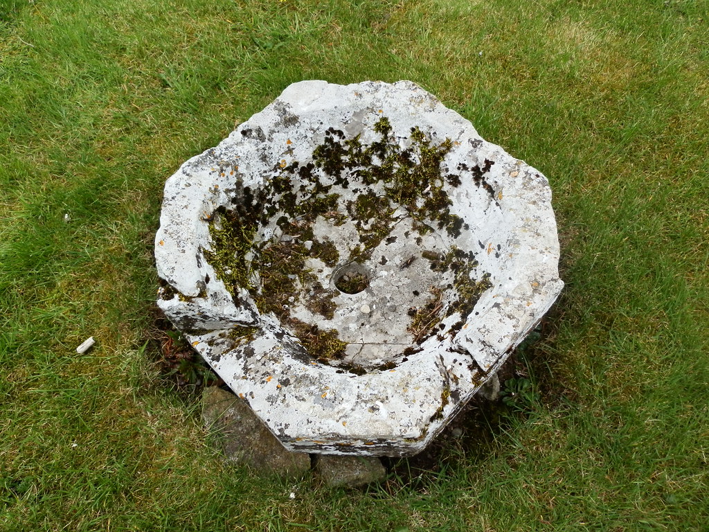
Description and History - A church was originally founded on the site in the 6th century by St Cainnech but was plundered and destroyed. Following this an Augustinian priory was founded there in 1234 roughly where the modern church lies. Just W of this church are the ruins of the Dominican friary which was founded in 1382 by Florence MacGillpatrick, Lord of Ossary. The church was suppressed in 1540 and fell into ruin. What remains of the church has had conservation work done on it and many modern plaques adorn the walls including a plaque commemorating the visit of the President, Mary McAleese. A modern altar now stands on the site of the original altar. Aghaboe is an interesting example of a medieval abbey which are rare in Laois. A motte and bailey lies directly to the N in the adjacent field and can be viewed from the Abbey.
Difficulty - There is no difficulty in getting to this site. It is right on the R434 and has its own car park, and clearly defined pathways.
For more ecclesiastical sites, click here.
For more sites in Co. Laois, click here.
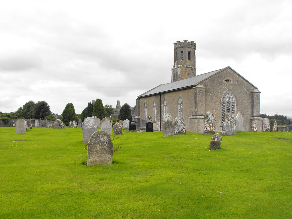
View of the modern church with the old bell tower. You can just see the ruins of the abbey behind it.

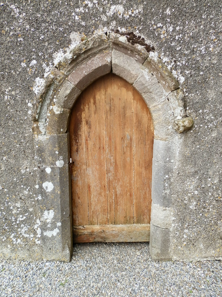
The restored entrance.
Note the earthworks - remains of now destroyed buildings.

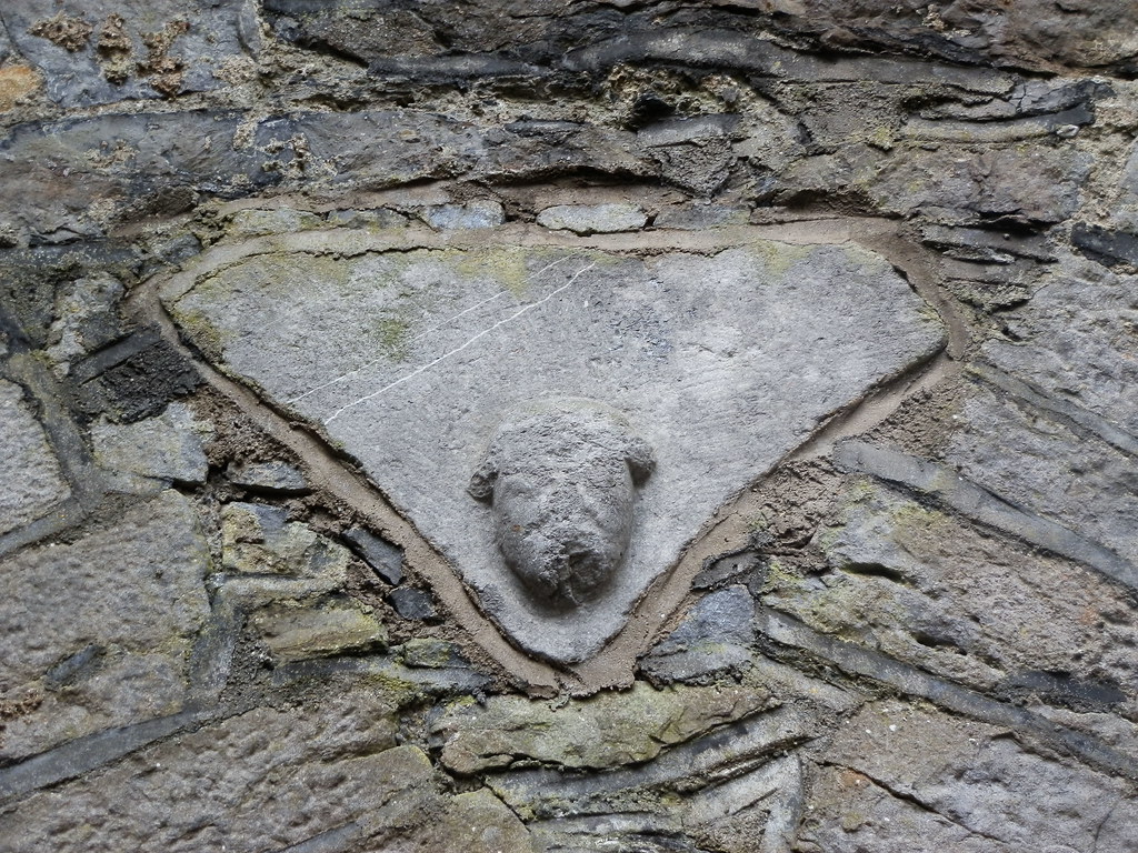
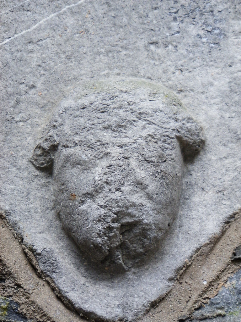
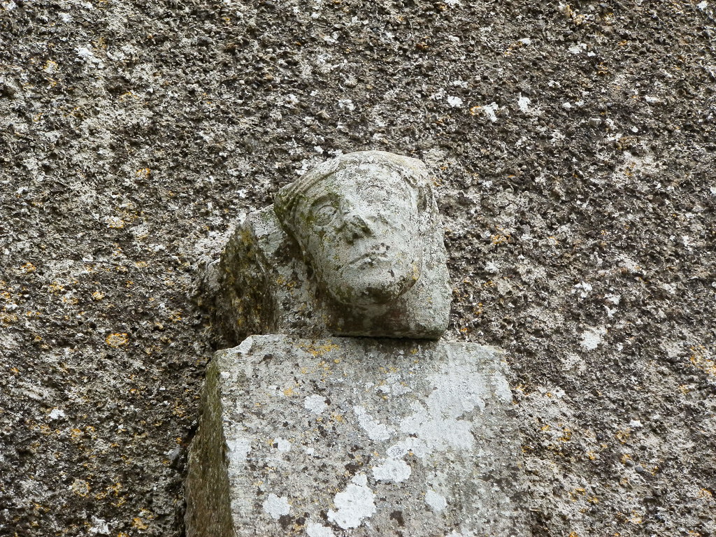
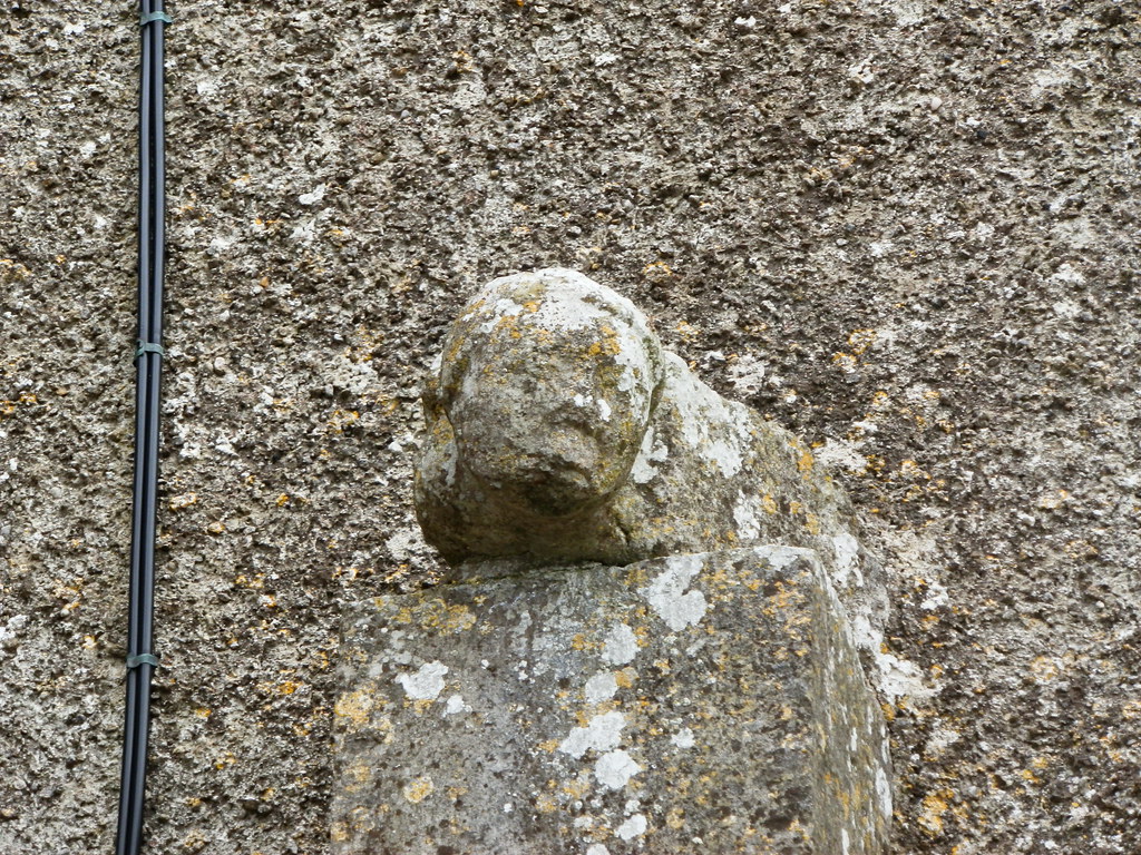
Face seen on the interior of the abbey.


View The Standing Stone in a larger map