
Location – This site is not located on the current OS edition but is located near Srahanboy cillin, motte and bailey and castle. It is located next to a track on the right as you go W. The approximate grid reference is
OS: S 971 243 (map 54)
See map at the bottom of the page.
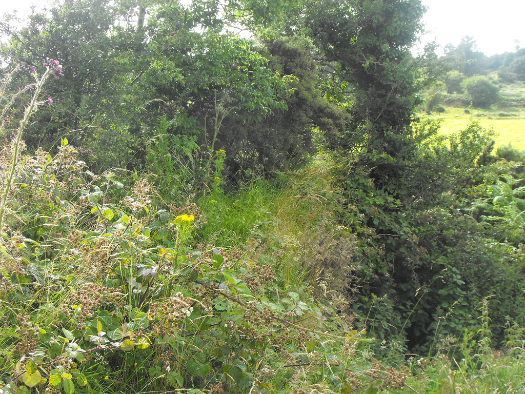
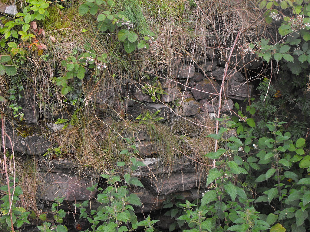
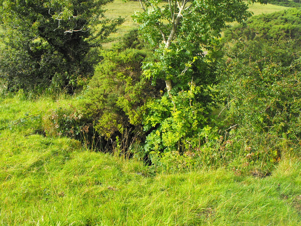
Description and History – Lime kilns are usually associated with farmsteads and were used in the 18th, 19th and early 20th centuries across Ireland. They are not listed in any archaeological inventory on account of their being relatively modern. However, I have included this lime kiln because it helps to build up the picture of Srahanboy which was once a vibrant community in the foothills of the Slieve Blooms. Along with the ecclesiastical site and cillin, the castle and the motte and bailey and also the nearby barrows and ringforts at Carrowreagh this lime kiln help to flesh out the long history of this area. The site was stumbled upon by my sister and after much investigation I found out it was a simple lime kiln.
The present remains consist of a mound about 3 meters high with a hole about 1.5m in diameter on the top. This leads to an opening at the bottom of the mound where the lime would have been dragged out. The opening at the bottom is now buried. Much stone work survives but the site is overgrown.
Difficulty – The site is easy to find and is built into a natural hillock next to the trackway just beyond Srahanboy scout centre. The site is a little dangerous because of the hole at the top of the mound so watch your footing.
For more lime kilns, click here.
For more sites in Co. Laois, click here.
OS: S 971 243 (map 54)
See map at the bottom of the page.
Description and History – Lime kilns are usually associated with farmsteads and were used in the 18th, 19th and early 20th centuries across Ireland. They are not listed in any archaeological inventory on account of their being relatively modern. However, I have included this lime kiln because it helps to build up the picture of Srahanboy which was once a vibrant community in the foothills of the Slieve Blooms. Along with the ecclesiastical site and cillin, the castle and the motte and bailey and also the nearby barrows and ringforts at Carrowreagh this lime kiln help to flesh out the long history of this area. The site was stumbled upon by my sister and after much investigation I found out it was a simple lime kiln.
The present remains consist of a mound about 3 meters high with a hole about 1.5m in diameter on the top. This leads to an opening at the bottom of the mound where the lime would have been dragged out. The opening at the bottom is now buried. Much stone work survives but the site is overgrown.
Difficulty – The site is easy to find and is built into a natural hillock next to the trackway just beyond Srahanboy scout centre. The site is a little dangerous because of the hole at the top of the mound so watch your footing.
For more lime kilns, click here.
For more sites in Co. Laois, click here.

View The Standing Stone in a larger map